Thank you for visiting SotAwiki, a Shroud of the Avatar Wiki Encyclopedia. If you see any information that is outdated, please take the time to update it, or if you prefer, leave a message for other editors. This community wiki is for the benefit of all Avatars!
File:Tenakill Map April14,2016.PNG
Jump to navigation
Jump to search
Size of this preview: 800 × 442 pixels. Other resolutions: 320 × 177 pixels | 1,205 × 666 pixels.
Original file (1,205 × 666 pixels, file size: 1.57 MB, MIME type: image/png)
Summary[edit]
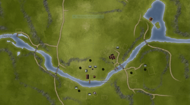
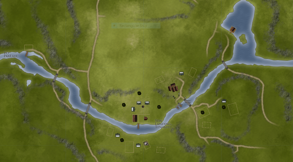
Early map of Tenakill using Sotamaps.com
Licensing[edit]
| License | Creative Commons Attribution-NonCommercial-ShareAlike 3.0 Unported (CC BY-NC-SA 3.0) |
|---|---|
| Description | A description has not been specified. Please edit this file and add a description. |
| Source | A source has not been specified. Please edit this file and add a source. |
| Author | An author has not been specified. Please edit this file and add an author. |
| Collection | N/A |
File history
Click on a date/time to view the file as it appeared at that time.
| Date/Time | Thumbnail | Dimensions | User | Comment | |
|---|---|---|---|---|---|
| current | 16:07, 15 April 2016 | | 1,205 × 666 (1.57 MB) | Sean Silverfoot (talk | contribs) | Early map of Tenakill using Sotamaps.com |
You cannot overwrite this file.
File usage
The following page uses this file: